
Community
Those unraked leaves covering your lawn could be a lifeline for Minnesota wildlife
By Katherine Langford
Advertisement · Why this ad?
Katherine oversees editorial operations across all six brands. Before joining The Meridan Group, she spent 14 years at the Minneapolis Star Tribune, where she led the metro desk through its digital transformation. She holds a Master's in Journalism from Northwestern's Medill School.
More from Katherine →
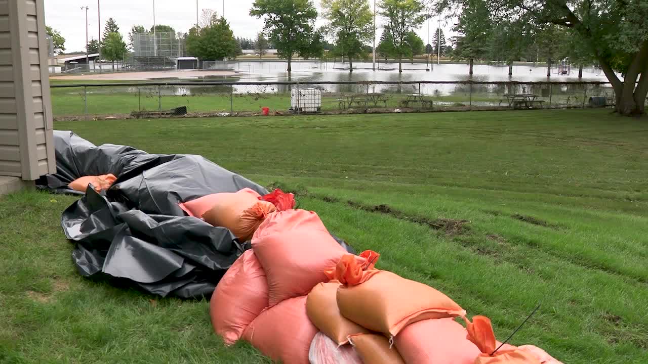
Minnesota just experienced the wettest November storm on record, according to the Minnesota DNR. “Over the course of about 72 hours, many areas received 2-4 times their normal November precipitation,” they explained. Brainerd received over 3 inches. In Grand Rapids, it was over 5 inches, and the 5.73 inches at Two Harbors was the largest three-day November total for any NWS station at any time on record, Minnesota Senior Climatologist Dr. Kenny Blumenfeld said. He added: “The event produced more total precipitation over the state than any other in 2026 and as far as we can tell, more than any other November event on record.” Thank the El Niño for providing a deep well of moisture that made this possible. The downside in recent days is the 1,000-year floods from New Mexico and Georgia to Florida. And now? Sunny 50s this weekend, maybe 60 on Monday before cooling down. The end of next week: 30s and 40s, maybe the first “flurries” (remember those?) by late week? A crazy November indeed. Advertisement Friday’s low of 31 at MSP was the fourth-latest sub-32 on record. See the current forecast here .
By Katherine Langford
By Marcus Chen

By Katherine Langford

By Marcus Chen